Lagoon guide · Quintana Roo, Mexico
Bacalar Lagoon — The Lagoon of Seven Colors
A freshwater lagoon shared by two municipalities, measured in a 2024 study, and home to submerged dolines and microbialites. Here is what is actually known.
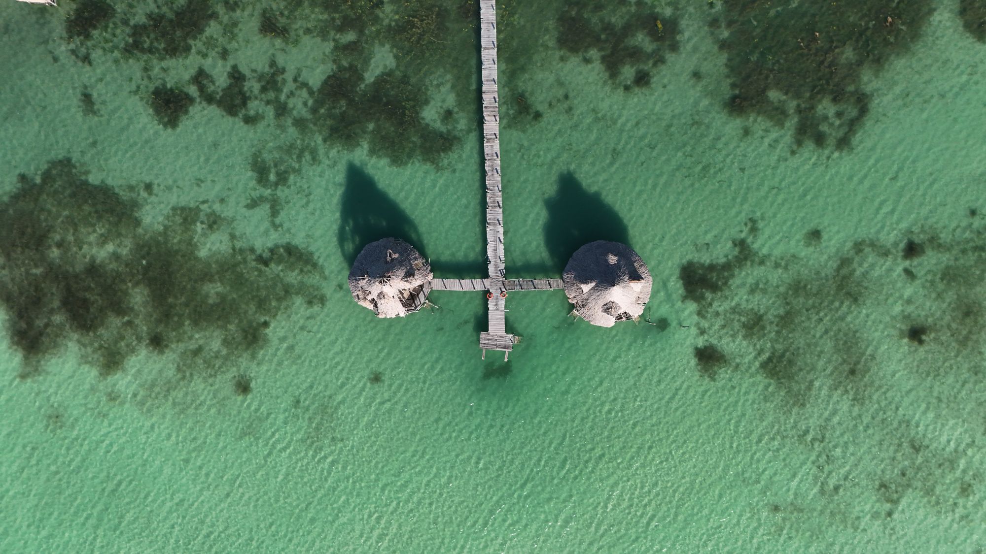
What is the Bacalar Lagoon?
Laguna de Bacalar — also called Laguna de los Siete Colores or Lake Bacalar — is a freshwater karst lagoon in Quintana Roo, Mexico. “Lagoon of Seven Colors” is its common name; this page does not assign a definite cause for the colours.
Where exactly is the lagoon?
Two municipalities, one shared body of water.
The municipal line crosses the water.
The boundary between Bacalar and Othón P. Blanco municipalities runs through Laguna de Bacalar. The lake and its shoreline are therefore not wholly inside Bacalar Municipality, and Xul-Ha belongs to Othón P. Blanco — not to Bacalar Town.
At the southern end a narrow channel connects the lagoon hydrologically with Xul-Ha Lagoon, and groundwater is an important source of its water. Hydrological connection is not the same as shared administration, shared shoreline access or a shared set of activities.
How big and how deep is it?
Main lake basin · measurements reported in a 2024 study
- Maximum length
- 52.667 km
- Maximum width
- 2.28 km
- Water surface
- 59.13 km²
- Mean depth
- 8.85 m
- Maximum depth
- 26 m
- Volume
- ≈ 554.4 million m³
- Shallow water
- ≈ 1/3 of the surface below 3 m
All figures are measurements of the main lake basin reported in a 2024 study published in Hydrology. They exclude the underwater dolines below. Do not combine them with older 40–42 km length figures: those come from a different survey convention, not a correction.
The lagoon’s underwater dolines
Scientific soundings of depressions in the lagoon bed.
Cocalitos
38.0 m
Often called Cenote Cocalitos
Esmeralda
48.5 m
Often called Cenote Esmeralda
Negro
63.6 m
Also called Cenote Negro or Cenote de la Bruja
All three are sub-lacustrine dolines — depressions in the lagoon bed, not cenotes that can be entered from the shore. The figures are scientific depth soundings; they say nothing about a swimmable depth or a route in.
Stromatolites and lagoon ecology
Bacalar Lagoon holds one of the world’s largest known distributions of freshwater microbialites — layered carbonate structures often described as stromatolites. A 2020 study in PLOS ONE documents this ecosystem and the pressures on it.
Those pressures include agricultural runoff, leachate, insufficient wastewater treatment and heavy tourism use. Ecological protection is a conservation context, not a sightseeing product: the wider protected areas of the region are not presented here as places to visit.
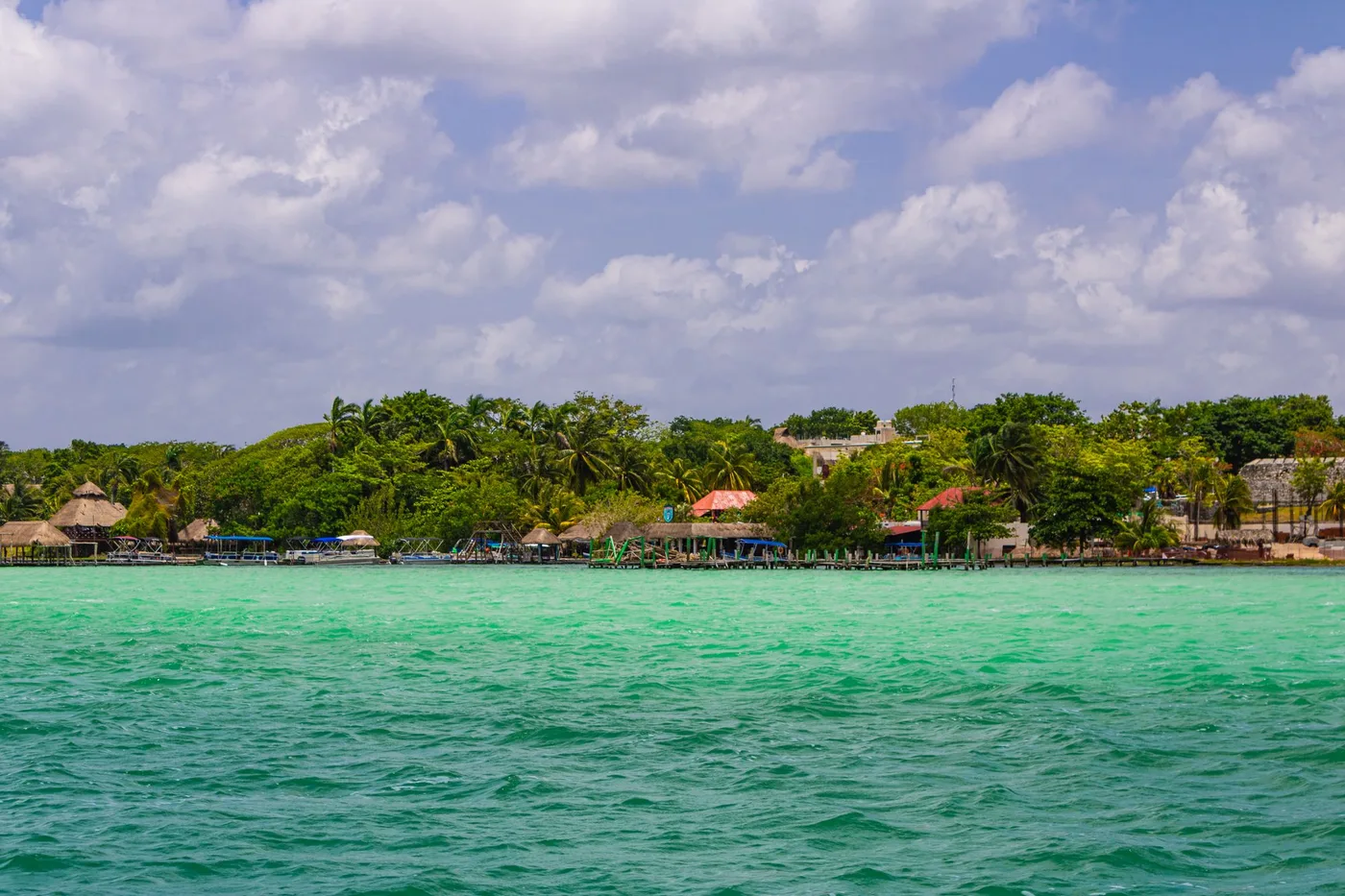
How is Cenote Azul different?
Cenote Azul lies about 100 m outside the main lagoon body and has water chemistry different from the lagoon’s. It is a separate entity from the lagoon’s submerged dolines, not a fourth doline inside the lake. A dedicated guide to Cenote Azul is in production; its details are not covered here.
Visiting responsibly
Treat microbialite mats and sensitive shorelines as no-touch habitat: observe them without stepping on or handling them.
Shoreline access, navigation zones and swimming limits are Not Available on this page. Verify them for the specific area you plan to visit instead of assuming the whole shoreline is open.
Where to go next
This guide fixes what the lagoon is. A destination overview, an activities guide and a dedicated Cenote Azul guide are in production; links will appear here when those pages are published.
Sources: 2024 study in Hydrology (main-basin morphometry); PLOS ONE 2020 (freshwater microbialites); project research synthesis from Module 01, Module 03-3A and Module 02-2A (geography, entities and ecology).