Destination overview · Quintana Roo, Mexico
Bacalar, Mexico — Destination Overview
Where is Bacalar — is it a town, a lagoon, or a municipality? All three names are used, and they do not mean the same thing.
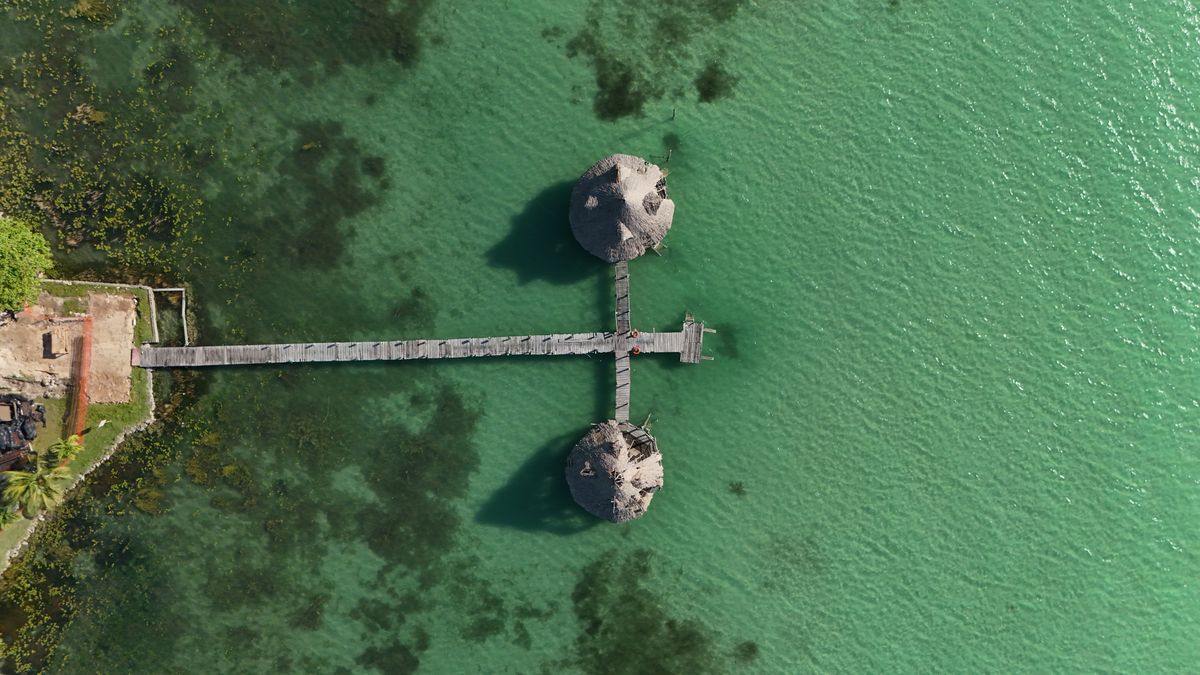
Three names, three different things
The same word is used for a town, an administrative area and a natural feature. They are not interchangeable.
Bacalar Town
The municipal seat and the main visitor service centre. The INEGI 2020 census records 12,527 residents.
Bacalar Municipality
A separate municipality in southern Quintana Roo, split from Othón P. Blanco in February 2011. INEGI 2020: 6,058.5 km² (statistical measure) and 41,754 residents.
Laguna de Bacalar
A freshwater lagoon that crosses the boundary between Bacalar and Othón P. Blanco municipalities. It is a natural feature, not an administrative unit.
Where is Bacalar?
State, neighbouring municipality and the regional gateway.
Bacalar is in southern Quintana Roo, Mexico. Othón P. Blanco is the neighbouring municipality to the south, and Chetumal — its administrative seat — is the region's transport gateway. Chetumal belongs to Othón P. Blanco, not to Bacalar Municipality.
Quintana Roo is the state-level parent entity. Bacalar Municipality was created in February 2011, when it was separated from Othón P. Blanco. Older administrative descriptions may therefore place areas that are now in Bacalar under Othón P. Blanco.
Three facts, side by side
These are parallel facts, not a chain of command or a travel route.
Regional transport gateway within Othón P. Blanco Municipality.
The urban centre of Bacalar Municipality.
A natural water body spanning the Bacalar and Othón P. Blanco municipal boundary.
Bacalar Town
Bacalar Town is the administrative centre of Bacalar Municipality and its main visitor service centre. The INEGI 2020 census counts 12,527 residents in the town. That figure describes the town, not the municipality.
Bacalar Municipality
Created in February 2011 from Othón P. Blanco, Bacalar Municipality is the wider administrative area. The INEGI 2020 statistical series gives it 6,058.5 km² and 41,754 residents.
That area is a statistical measure, not an uncontested legal boundary: the western boundary has a history of dispute with Campeche, so older sources may quote different figures. Do not apply the municipality's area or population to the town.
The lagoon and the municipal boundary
The single most important geographic fact on this page.
The municipal line between Bacalar and Othón P. Blanco crosses Laguna de Bacalar.
The lagoon is a shared natural feature. The whole lake and its shoreline are not inside Bacalar Municipality. Xul-Ha is in Othón P. Blanco, not in Bacalar, and should not be treated as a Bacalar neighbourhood or a Bacalar stay area.
Detailed measurements, the seven-colour explanation and lagoon ecology belong in a dedicated lagoon guide. This overview only fixes the geography.
Why people visit Bacalar
Four broad reasons, used as a navigation frame rather than a ranking.
Natural landscape
The lagoon and its surrounding landscape are the natural draw.
Time on the water
Activities on the water are a central part of a visit.
History and culture
Layered local history and culture add a reason to look beyond the water.
Places to stay
Accommodation is part of the experience; area trade-offs belong in a separate guide.
Mexico's tourism ministry recorded Bacalar's entry into the Pueblos Mágicos programme in 2006. That is a designation, not a statement about current experience or safety.
Where to go next
This page is the orientation point. Dedicated guides to the lagoon, things to do in Bacalar and where to stay are available across the site; start with theBacalar Lagoon guide for the lagoon's geography, colours and ecology.
Sources: INEGI 2020 Census and the INEGI 2020 statistical area series; Mexico's tourism ministry (gob.mx) for the 2006 Pueblos Mágicos designation.